TouchTable for Spatial Data Visualization
Transform your spatial data into interactive, visual experiences. Collaborate on data analysis and make better decisions.
Gebruikt door o.a.
Spatial Data Visualization for modern collaboration
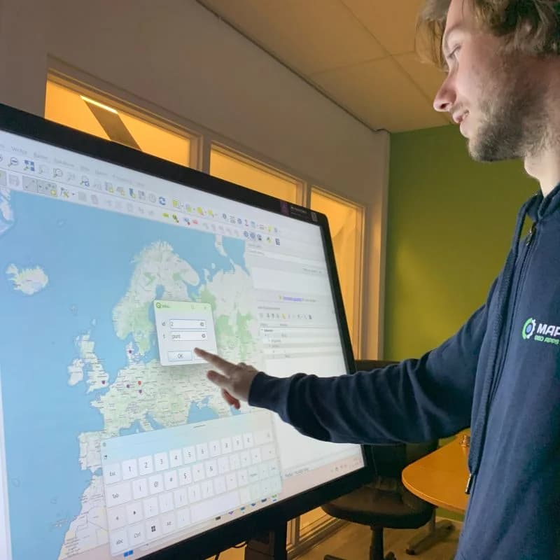
Spatial Data Visualization combines a large multi-touch screen with powerful software. With this, you transform every discussion about spatial data into a visual and interactive conversation where everyone can participate.

What is GeoApps?
GeoApps is a powerful GIS platform specifically developed for professional spatial analysis and map visualizations. The platform offers advanced tools for processing, analyzing and presenting geographic data in an intuitive interface.
With GeoApps, users can transform complex spatial data into clear, interactive maps and dashboards. The platform supports real-time data integration, advanced analytics and collaborative workflows, making it perfectly suited for use on the TouchTable.
Visit geoapps.nlBenefits of Spatial Data Visualization
GIS Specialists
for advanced data analysis and visualization.
Urban Planners
for planning and presenting spatial projects.
Government Agencies
for policy making and citizen participation.
Real-time Collaboration
Work on the same datasets and visualizations simultaneously.
Intuitive Data Interaction
Make complex data insightful with touch interaction.
Easy Sharing
Share your findings and visualizations with stakeholders.
Better Decision Making
Make data-driven decisions based on clear visualizations.
Increased Efficiency
Accelerate your data analysis and decision-making processes.
Improved Collaboration
Involve all stakeholders in the data analysis process.
Formats and Types
Choose from different formats and types for your specific data visualization needs.
Available Formats
Large Screen Visualization
Perfect for team-based data visualization and presentations to stakeholders.
Interactive Workstations
Create individual or group-oriented workstations for in-depth data analysis.
TouchTable Types
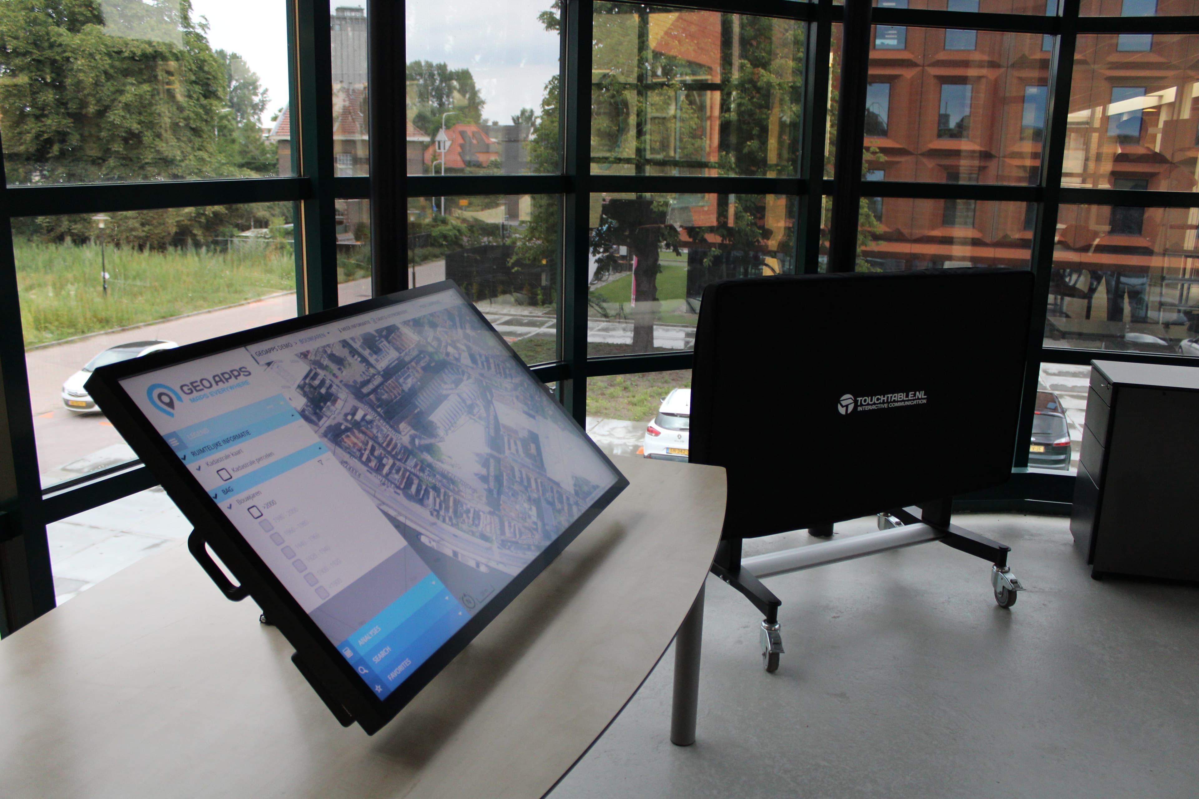
TouchTable Go
Mobile and flexible solution for data analysis at any location.
- Portable and mobile
- Quick setup for data sessions
- Ideal for fieldwork and presentations
TouchTable Standard
Permanent installation for in-depth data analysis and collaboration.
- High resolution for detail analysis
- Powerful performance for complex datasets
- For professional data analysis
Spatial Data Visualization in Practice
See how the TouchTable is used for various data visualization projects
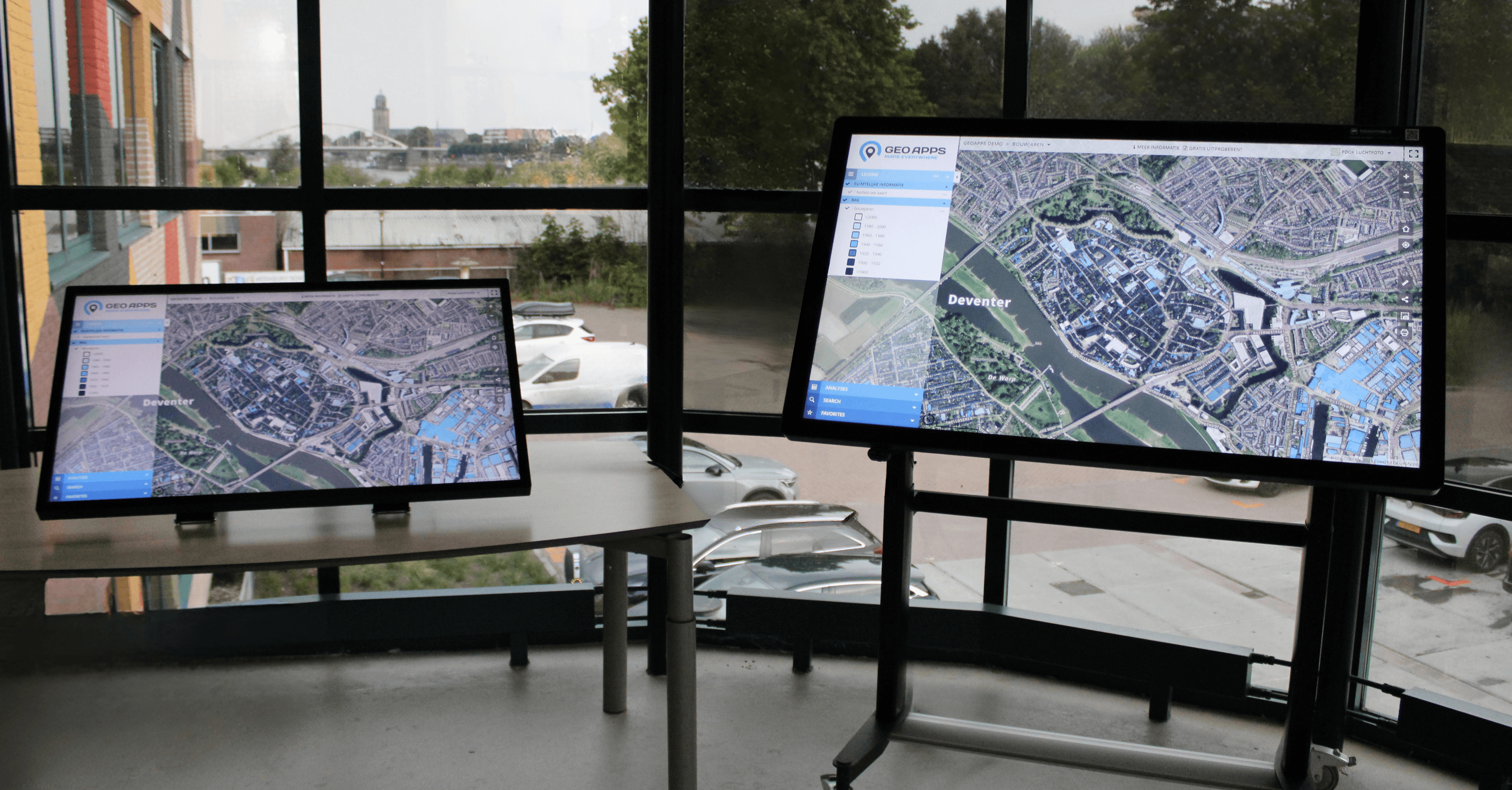
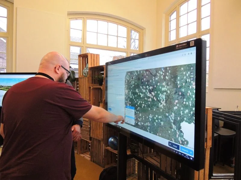
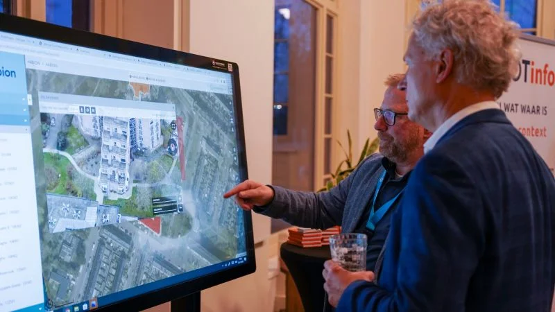
TouchTable in landscape format for data visualization
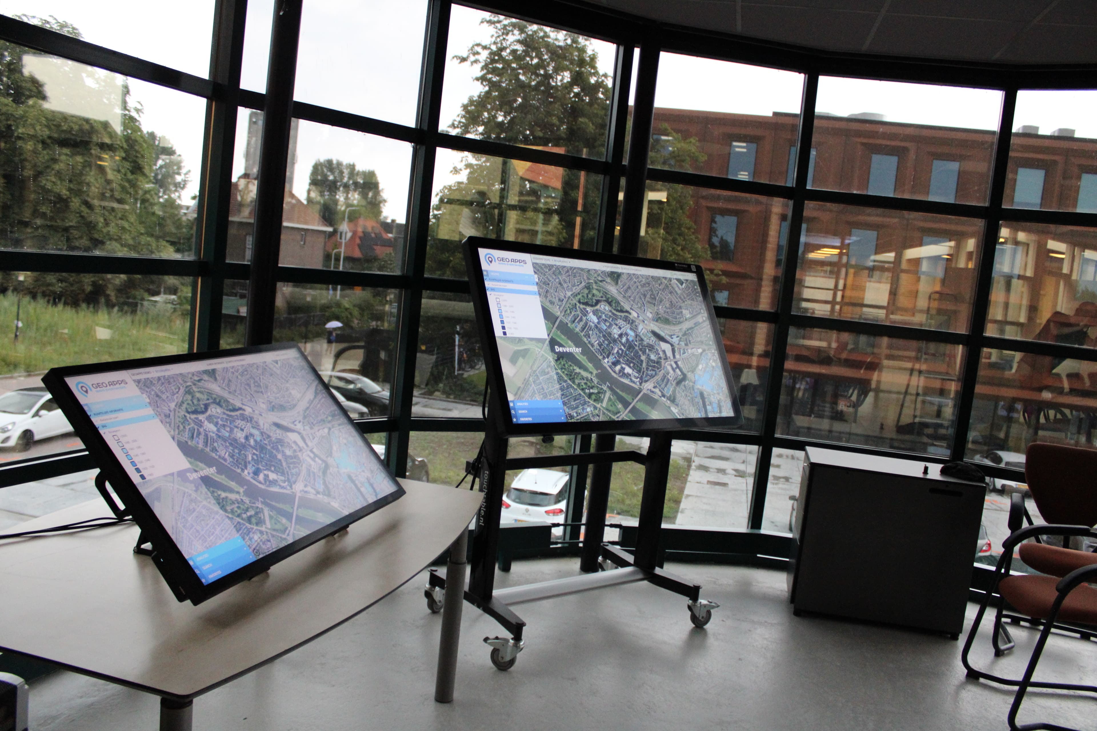
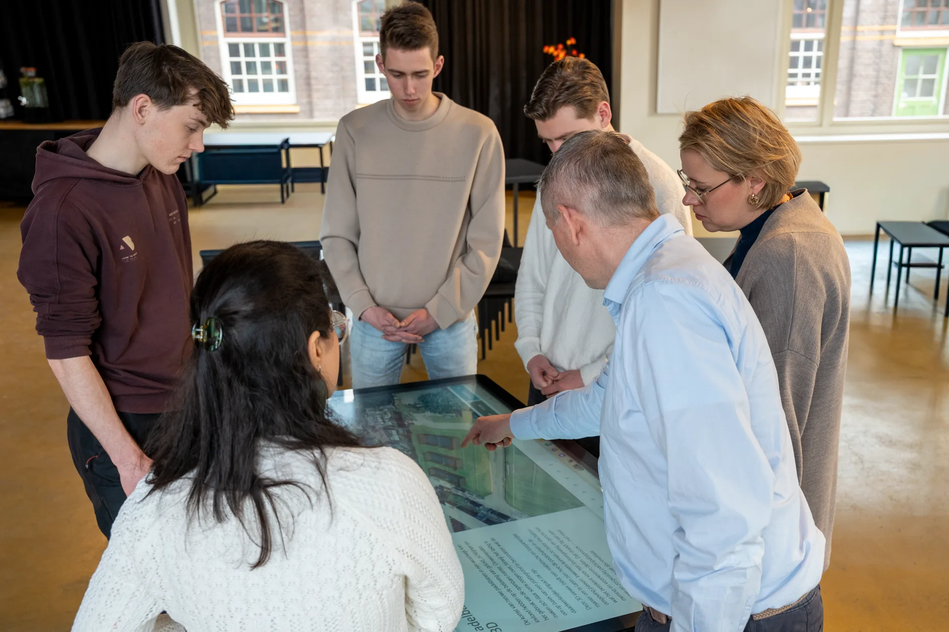
Interactive data session with the TouchTable
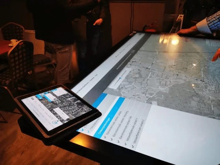
TouchTable Go and Standard for data visualization
Applications and Features
Applications
- Spatial data analysis
- GIS data visualization
- Citizen participation
- Project presentations
- Infrastructure planning
- Environmental impact analysis
Features
- Interactive data layers
- Multi-touch support
- Real-time annotations
- Integration with GIS software
- Exporting data
- 4K Ultra HD resolution
Need more information?
Download our specsheet and brochure for all technical details and specifications.
Request demo
Discover how the TouchTable can improve your data visualization.
Support & Service
We help you make optimal use of your TouchTable.
Try & Buy Program
Demo at office or online
Schedule a no-obligation demonstration at our office or online via video call.
Rent before you buy
Test the TouchTable extensively by renting first. When purchasing within a week after rental, the rental price (of 1 day) is deducted from the purchase amount.
Personal advice
Contact us for questions and custom advice about the best TouchTable for your situation.
TouchTable in action
From trade shows to education, from crisis management to participation - discover how TouchTable is deployed.

Digital Maps
Map Visualization
GIS Visualization

Spatial Planning
Participation
Participation
Ready to discover TouchTable?
Transform your presentations, meetings and collaboration with the power of interactive technology. Request a quote today or schedule a demonstration.
Request quote